For years I've had 'travel to the Moonville Tunnel' on my bucket list. A freelance photographer, Mike, covered it for Refined once, and it piqued my interest (as well as the readers') every time I'd repost it on the social media channels. It has the perfect trifecta of characteristics to lure me in: it's historic, it's mysterious and eerie, and it’s both free and legal to visit.
Considering its relatively close proximity to Cincinnati and easy access via a convenient trailhead I'd read about online, I decided to take the day and head up to Vinton County to check it out and photograph it for myself.
After escaping the interstate and traveling along country roads that weaved in and out of single stoplight towns, my cell service vanished into the void as I approached the Zaleski State Forest. Once through McArthur and Zaleski, I turned right on Wheelabout Road, where the smooth, paved roads eventually roughened into dirt and gravel at the tree line. A vandalized sign for the tunnel marked the nearby intersection. Little did I realize this would be the last wayfinding tool I'd have before heading deeper into the woods.
From there, the path was pretty straightforward. I kept following the dirt and gravel road up and down the hills of the forest, never exceeding more than 15 mph. At the top of one of the climbs, my car jumped violently due to some invisible lumps in the road, lurching up and down until I hit the brakes and giving me a scare I did not expect.
Slowly, I continued. Eventually, the road crossed Raccoon Creek, and I came upon a clearing with a satellite dish and an orange, metal path barrier to my left. This is where I needed to park to head to the tunnel, but I continued on and eventually had to return to this spot once I realized I'd passed it.
Google Maps overhead view of the area. From the parking area to the mouth of the tunnel is approximately 750 feet. Use the foot bridge to cross over Raccoon Creek.
I got out and walked over the pedestrian bridge decked out in personal locks. Each one had a message in various states of legibility—initials, dates, so-and-so loves so-and-so. Several looked to have been scraped clean of their messages, completely erasing the sentiment they represented when they were placed there. Some looked freshly hung with dark permanent marker. A few had joined the rest of the bridge in being spray painted.
Below, an emerald Raccoon Creek bubbled with activity. I couldn't help but think about how Myrtle would be pulling to splash around in the tiny rapids beneath the rocks. A little way up the hill, just beyond the overgrowth, I could see spray-painted mushrooms and aliens adorning the side of one of the bridge's struts.
I climbed back up the footpath from the creek and headed toward the mouth of the tunnel. From my car to the tunnel, I only had to walk about 750 feet.
As I approached the Moonville Tunnel, I became hyper-aware of how alone I was in this massive forest. The wind, the birds, and the forest beneath my shoes were the only sounds I heard. Ahead, the Moonville Tunnel—a character I'd seen hundreds of times online—emerged from the brush and beckoned me closer.
The iconic brick "M O O N V I L L E" emblazoned above the tunnel was confirmation that I'd made it to the right place. With neon graffiti scattered across its face, it sat wedged firmly into the side of the hill as it had been for over a century, holding back the many tons of woods all around it like the titan Atlas carrying the world on his back.
The gaping, black maw bullseyed by a half-moon of light at the other end threatened to swallow me whole if I got any closer. The wind gently funneled through the Moonville Tunnel in a pleasant way that cooled my brow and made me feel at ease. I set up my tripod in the mud and snapped several frames using a Nikkor Z 24-200mm.
~ ~
The Moonville Tunnel is located near the edge of Raccoon Creek in Vinton County, Ohio, in the middle of the Zaleski State Forest. As the story goes, in 1856, the Marietta-Cincinnati Railroad sought to build a line through southeastern Ohio when a man named Samuel Coe offered up his property to the railroad company in exchange for free hauling of coal and clay out of the area. Because this land would significantly reduce the distance between two points, and because the M&C was hell-bent on saving money, the deal between Coe and the railroad was mutually beneficial.
Mining towns popped up along the line after it was laid, one of which was Moonville. According to one source, it was a tiny town with a schoolhouse, railroad depot, store, a post office, and at least one saloon. At its peak in the 1870s, Moonville had a population of only a little over a hundred people, though other sources claim only fifty to sixty people lived there at any one time. Regardless of the exact number, Moonville was never a hub of significant activity. The tunnel was presumably erected during the line's construction since it bores through the side of a hill.
It should be noted that the tunnel has an embedded marker within its walls that states it was "repaired 1903-4." I didn't find information about the nature of that repair or how much the tunnel changed from the mid-1800s to the early 1900s.
At the turn of the century, the coal mines had begun to be depleted. Even though the railroad was healthy and regularly used after the B&O purchased it in the 1880s, Moonville's population dwindled. By 1947, one hundred years after the first tracks were laid on Samuel Coe's property, the last family left Moonville, cementing its status as a ghost town. After twenty years of abandonment, every remnant of Moonville had disappeared from the forest except for the tunnel and the Moonville cemetery.
In 1988, the rail line was abandoned and removed, as well. The path where the rails once were is now a walking path. A train trestle once stood where the foot bridge is today, but was removed sometime before the year 2000. [Photo]
~ ~
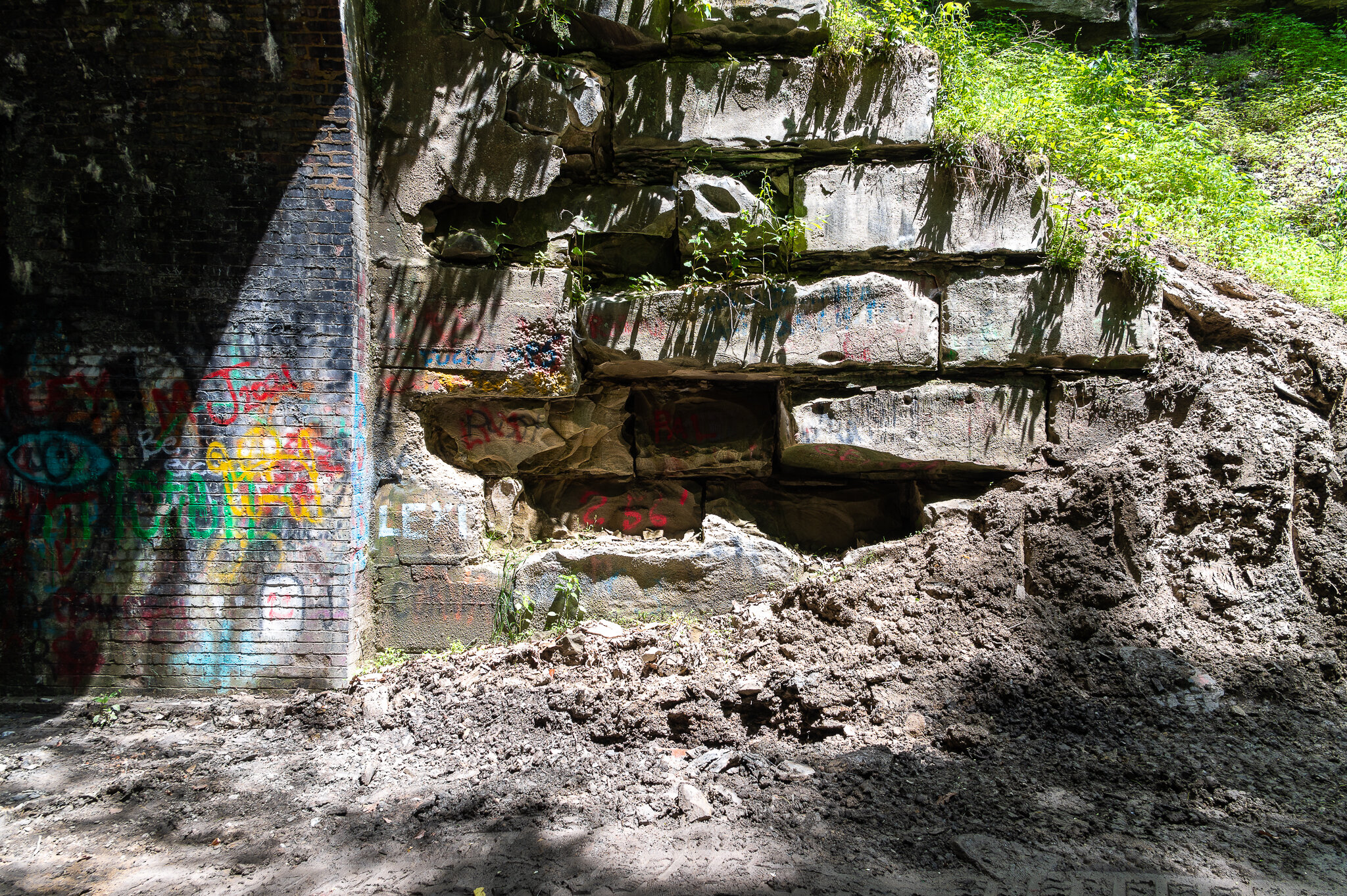
Once I'd finished photographing the western face, I ventured forth into the brick abyss to check out the graffiti within. I couldn't tell which was more colorful—the language or the spray paint used to leave it on the walls of the Moonville Tunnel. Most of it was indecipherable due to years of new additions over previous works. Hashtags and internet slang had invaded this completely analog space despite its seclusion.
A woman appeared suddenly at the mouth of the tunnel. I'd thought I was alone, but someone else had parked and wandered over the bridge and up to where I was. As she entered the tunnel and strolled toward me, I was acutely self-conscious about my presence in that space. Concerned with how I was presenting myself, especially as a stranger in the woods to a woman walking alone inside a dark space, I made sure to greet her warmly and step aside so she knew I was not a threat. She stopped and chatted with me about the tunnel for a moment, and I got the feeling she was at ease, which made me feel better in turn.
Speaking of unease, loads of paranormal stories that have circled the tunnel like vultures for decades. Google it and you’ll undoubtedly find stories about what others have experienced over the years. For the record, I did not having anything paranormal happen on my trip to it.
As I walked out of the tunnel on the eastern side, I looked up and saw a broken keystone with the date carved into it. After zooming in on the photo, I'm reasonably sure it reads "1903," which coincides with the repair date listed on the tunnel wall.
Self portrait.
The keystone with a broken “1903.”
I bid the woman farewell and started making my way back to the car. An older couple had walked up the path, and I stopped to take their photo on her phone. (One of my favorite things in the world is taking photos for strangers on their phones.) They told me they were residents of nearby Nelsonville and remembered the tracks when they were still in the ground.
The others who joined me a little while after I got there.
The sun was boiling, and I'd already taken about 50 photos of the tunnel and area around it, so I made my way out of the forest the way I entered it. As I followed the winding country roads (singing John Denver in my head), I waited for service to return to my phone to fire back up the GPS. About five miles after I hit solid pavement again, LTE blinked to life.
If you’d like to visit the Moonville Tunnel yourself, I’ve outlined Google Maps directions [here] from the center of Downtown Cincinnati to the trailhead.
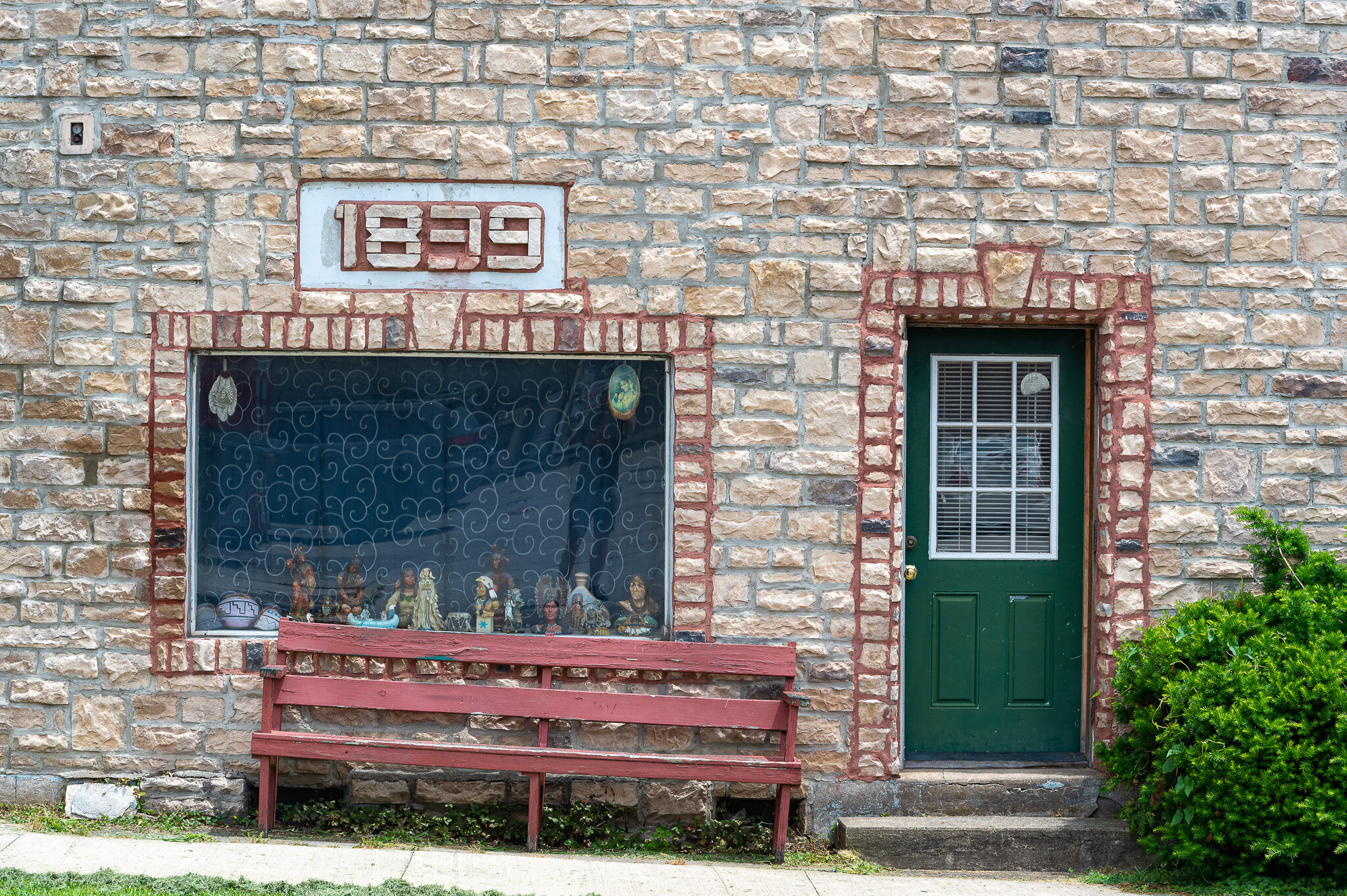
On the way back, I passed back through Zaleski and stopped in McArthur because a hotel there caught my eye. From the look of it, Hotel McArthur didn't look like the type of place I'd pay to lay my head, and after Googling it when I got home, I couldn't find much information about it. All I know is it has an extremely distinctive look, three Google reviews, it served as inspiration for a murder novel, and it has a date of 1839 on its side.
I got a few weird looks while photographing McArthur. It's probably not every day that a small town like this one sees some dude point a camera at its odd-looking hotel and retail corridor.
Seeking to be more confident and less anxious about strangers, I stayed the course and got my shots without spending more time than I needed to. Stopping in places like this with a camera always feels a little obnoxiously voyeuristic and I hope I don't make anyone uncomfortable by documenting their town.


