
I woke up in the Rio on July 23rd refreshed and ready for the day's planned journey into the Mojave Desert. Having never been to that section of Western America before, it was exciting to load up the rental car with our camera gear to chart new (to me) territory. The whole experience was made easier with the promise that Travis—someone who's been to the area before—was leading our excursion, too.
This is the second part of a four-part series. If you haven't read the first part of this series, 'A Trip to Las Vegas: Day 1' already, you can do so here.
After stopping at Whole Foods for provisions, we set out south on the Las Vegas Freeway until the familiar sight of vertically stacked fluorescent boulders faded into view. Though I'd not been to Seven Magic Mountains before, I recognized them from photos. We got off the exit and backtracked to park in the convenient lot beside the installation.
About 50 people were at the site when we arrived. One man had climbed up on one of the lower boulders while others were content to take endless selfies from the ground. Realizing I'd never be able to get a "clean" shot of the installation, I resolved to shoot it as it was: drenched in tourists like ourselves. The result of those photos is arguably better than getting it without any sign of life whatsoever.
The approach to Seven Magic Mountains.
Three-panel panorama (best viewed on a desktop).


Travis, Rob, and Justin on the edge of the site.


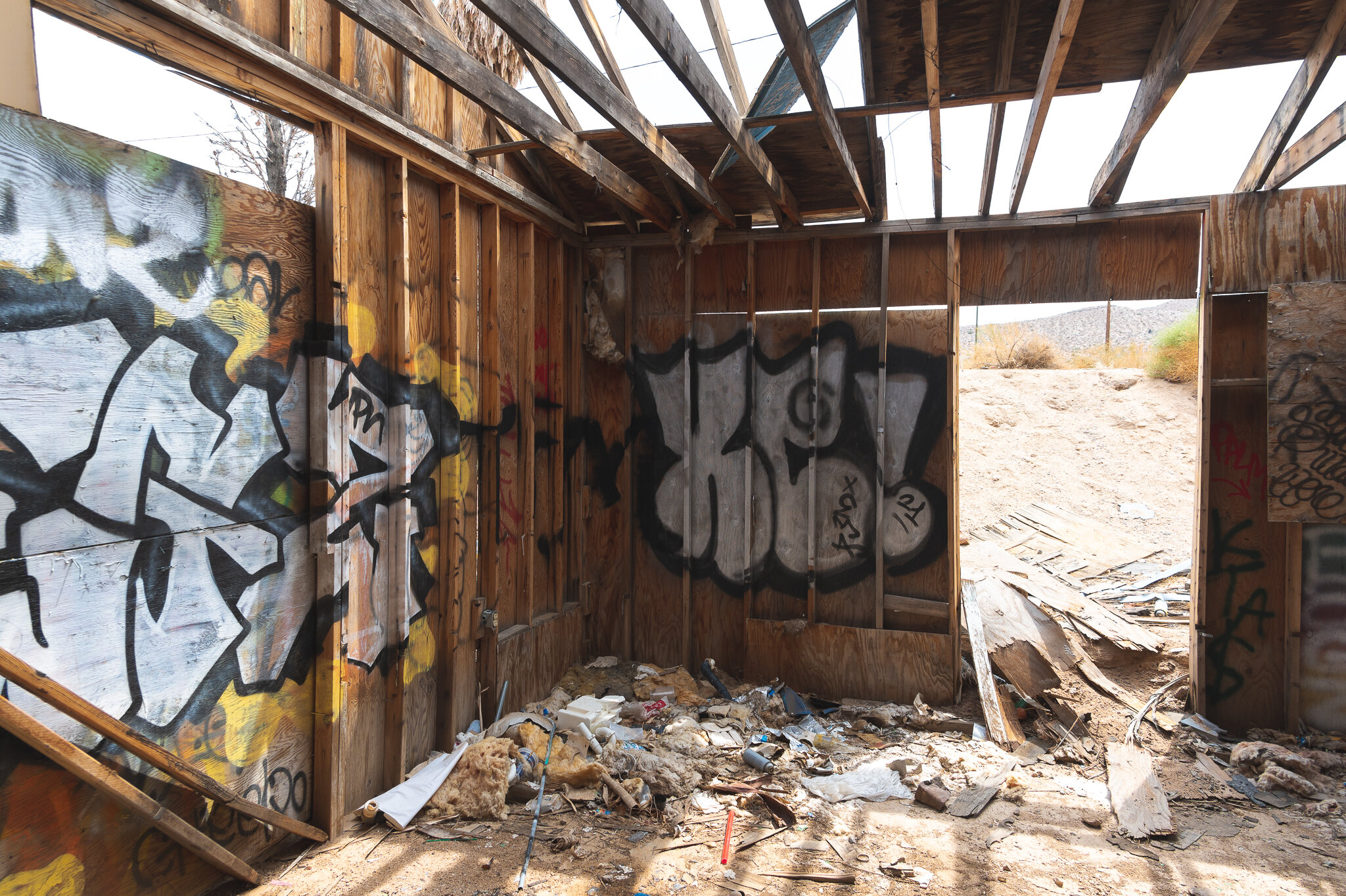
From there, we headed further south into California on a mission to find some prime abandoned content. This was, unbelievably, my first visit to the Golden State, too. While most people's first time in California consists of a flight into one of its major cities, I first stepped foot on its soil at the site of an abandoned gas station and diner along I-15 in Halloran Springs.
With virtually no security in place, we easily walked into the site to set up and take our shots. Overall, we spent about 30 minutes taking photos from different angles. Travis brought a tripod to shoot medium format film.
You can see the iconic LO-GAS sign from I-15 in California.


The gas station section of the site is heavily graffitied and has been ravaged by visitors over many years.
Travis sets up a shot on a tripod next to the old gas station. It looks like a fifth wheel was once parked under the awning and has since been burned to rubble.
The remaining pumps at the gas station.
The diner is similarly beaten up. If you explore photos others have taken over the years, you’ll see the incremental changes that have occurred over time.


The inside of the diner is a communal canvas.

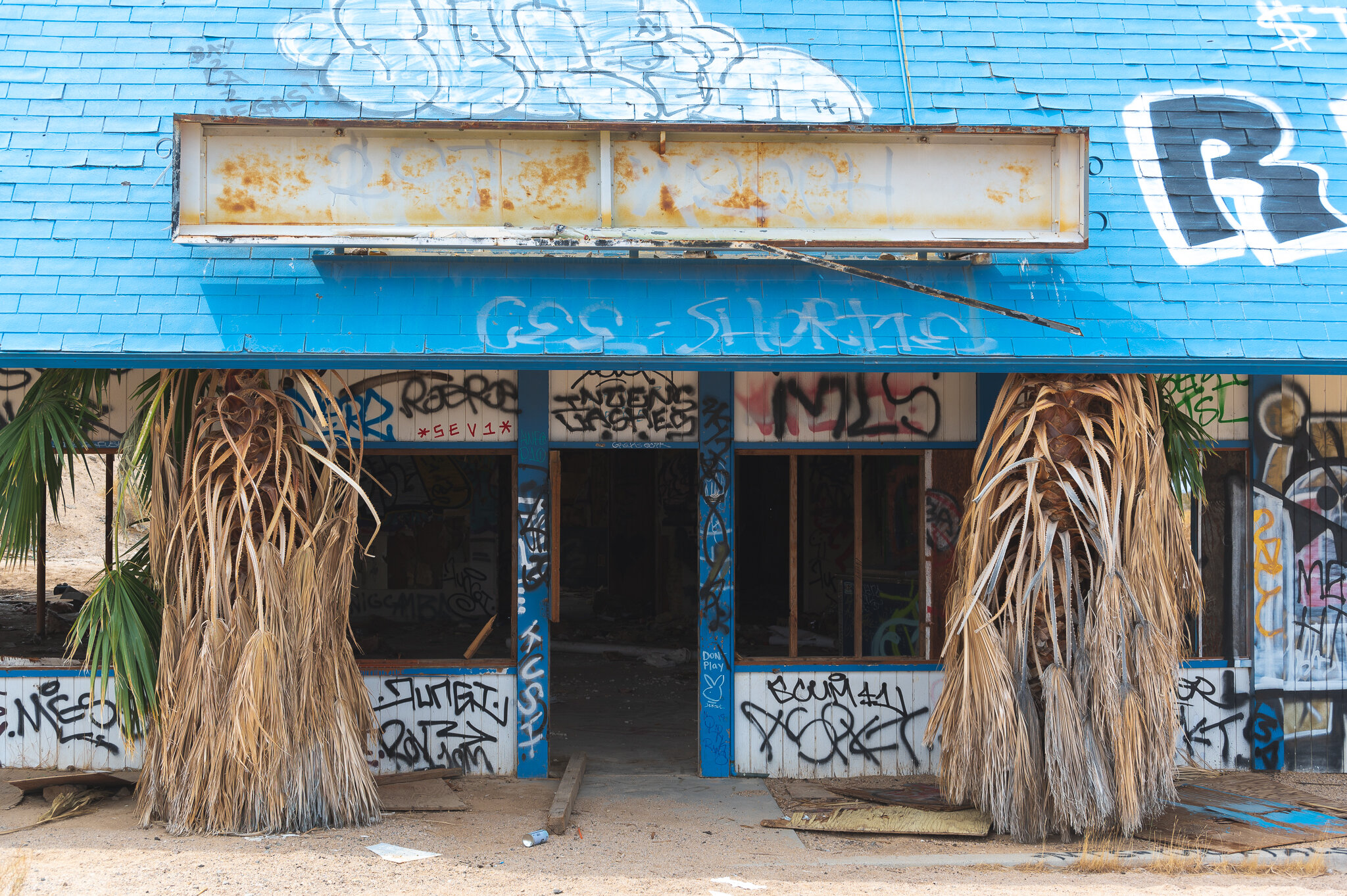
Hopping back on the freeway, we then stopped off in Baker where the odd roadside attraction Alien Fresh Jerky, an over-the-top UFO-themed convenience and souvenir store, greeted us. We took some photos of the area and got a few bags of overpriced jerky before heading back down Baker Boulevard.
This place was wild.

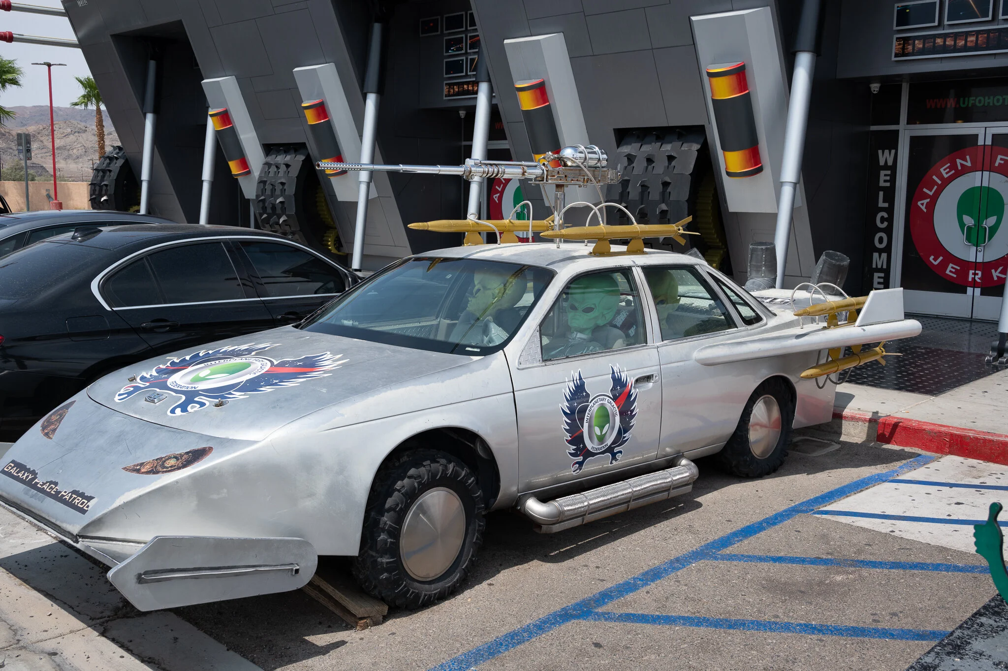


Thanks, I hate it.


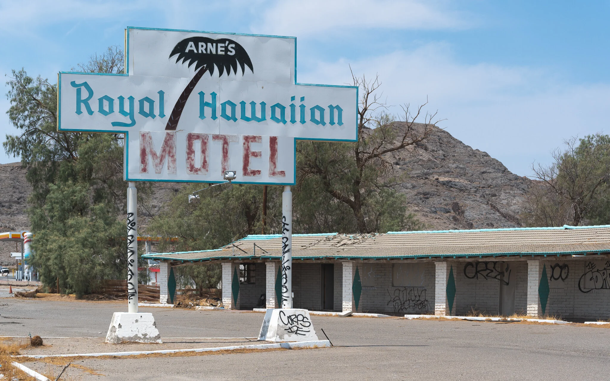
Further down the road, we pulled the car over to photograph the abandoned Arne's Royal Hawaiian Motel. After doing some digging online, I learned the motel was open from 1957 to 2009—far more recent than it appears to have been open, in my opinion. Then again, perhaps the most significant reason it stayed open nearly a decade into the new millennium is due to its location as the halfway point between Las Vegas and Los Angeles. As one Yelp review put it, "you're only staying in Baker because you're too tired to drive somewhere else." That very same Yelper (embedded below) posted photos of the interior when it was still open; it's not a shock to learn the motel was the dumpiest of dumps at the end of its lifetime.
The most photogenic side of Arne’s Royal Hawaiian Motel, in my opinion.
The rooms have been empty for over a decade. Well, at least in theory they’ve been empty…
One source speculates that the financial crisis of 2008 was the final nail in the coffin for Arne's, which seems plausible. There's another Yelp review that claims a guy stayed there long after the motel formally closed by just walking inside one of the rooms, and he willingly shared a bed with the mummified remains of a woman who'd been there for years. Sounds like a load of bull to me.
The topped trees really add a little je ne sais quoi to this scene.


Baker is also the home of the world's largest thermometer, which told us the air temperature at the time was about 107ºF. The pavement baked (heh) the soles of my shoes as I photographed the motel, eventually leading me to get back in the air-conditioned car out of perhaps an irrational fear they would suffer some sort of lasting damage. As the only pair of shoes I'd brought on the trip, I came to appreciate how invaluable they were in that moment and imagined how many people decades before our visit traveled here with merely the windows down instead of having air-conditioning to cool their ride.
The world’s largest thermometer can be seen in the distance.
It was getting to be lunchtime, so we traveled to Barstow to see the original Del Taco location while also hoping to snag a bite to eat there. While no longer a Del Taco, it advertises burgers for sale today. Unfortunately, it was closed when we got there, and we had to travel further down the road for an open diner. Before we left, we took a few photos of a train and what looked to be a former gas station that was abandoned.
The original site of Del Taco at 38434 E Yermo Rd.
An abandoned gas station with a train sitting behind it.


After a failed attempt to eat at Peggy Sue's 50s Diner, we settled on a quiet place called Penny's, which shared a parking lot with a Travelodge and was across the street from an alarming amount of dune buggies. We were the only people dining in that day. The food was your standard, tried and true diner fare.
An ad by the road advertises Peggy Sue’s 50s Diner. In the background, “CALICO” can be see written in the hills.
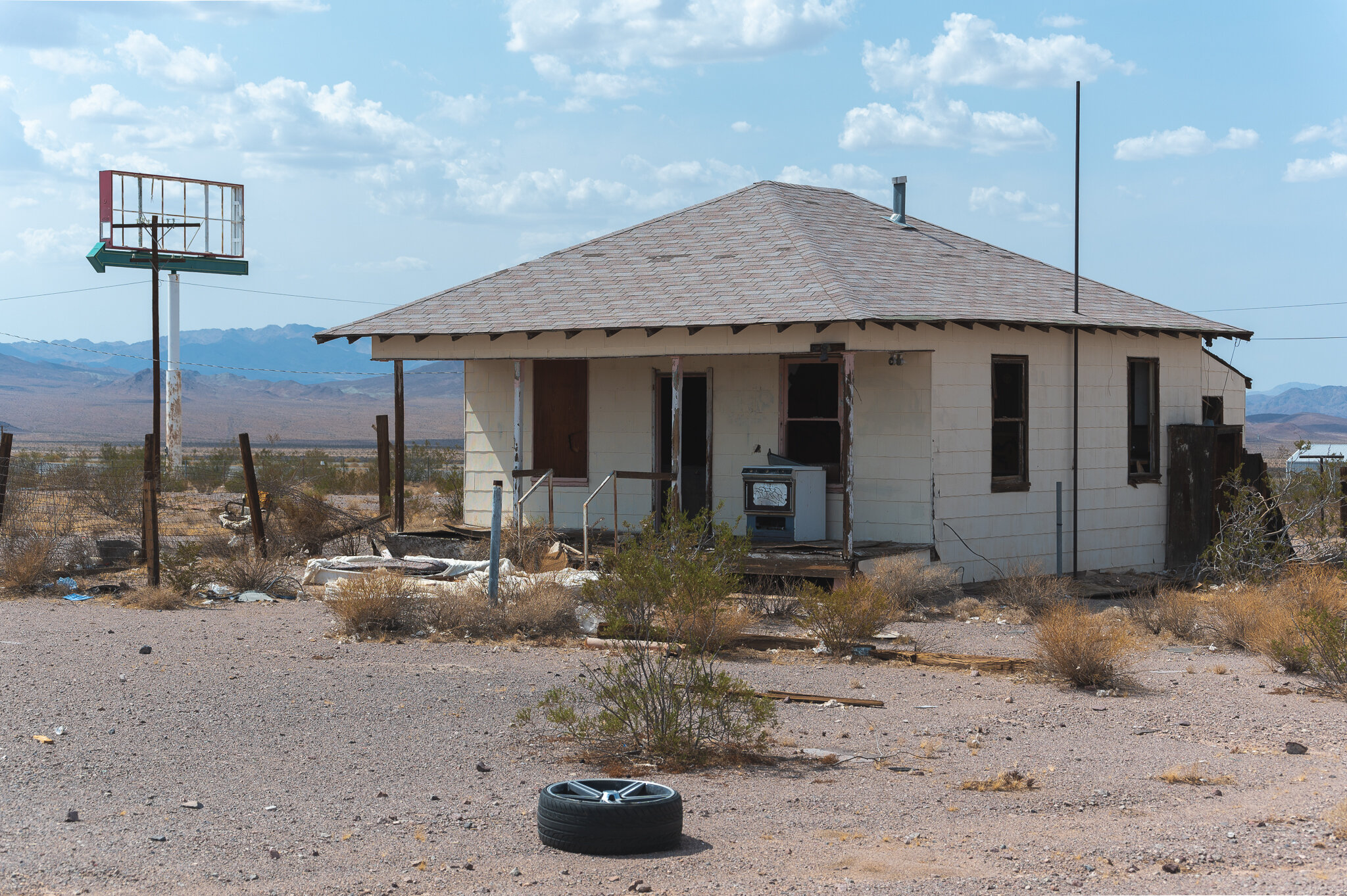
Sufficiently full and ready for the next leg of our journey, we wandered onto Route 66 and made a stop in Ludlow to photograph some exciting stuff. The town dates back to the 1870s. In the 1880s, ore was found nearby, leading to the town's early growth. It was also located along several railways and acted as a water stop for the Atlantic and Pacific Railroad.
By the 1940s, mining operations and train traffic halted, and Ludlow found a new purpose as a popular stop for Route 66 travelers. Today, it's little more than a ghost town with a gas station, cafe, and motel thanks to the construction of I-40.
Old vehicles can be seen parked under an awning in Ludlow, CA.


What appears to be a former gas station with a cool shape in Ludlow, CA.
I kept out.

Travis changes film from the back of the rental car.


Continuing along Route 66, we drove toward Amboy in search of a popular, photogenic stop countless people have visited. Before arriving, though, we stopped to see the Amboy Crater—a volcanic field with an observation area.
The path to the observation area.
A lot of volcanic rock with mountains in the background.
As we were leaving, we could see rain off to the west. It was coming the way we were going, and we wanted to get photos of our next location before it got there.
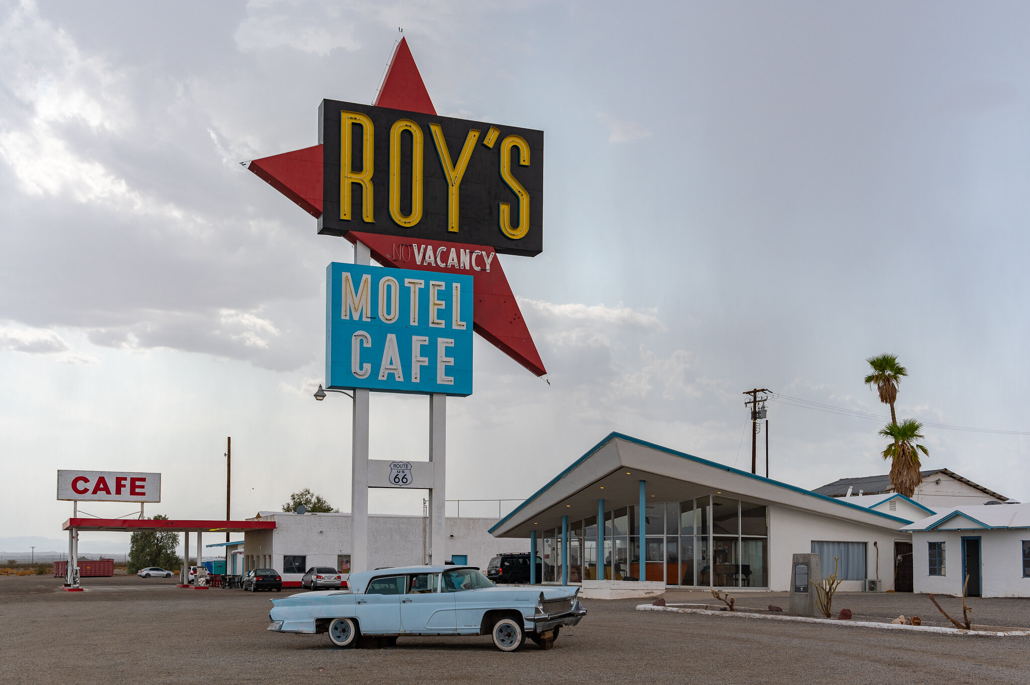
We arrived at Roy's Motel & Cafe just as a storm was rolling up. We jumped out of the car and got as many photos as we could before it began raining.
Roy Crowl opened Roy's gas station in 1938. After getting into business with his son-in-law, Buster Burris, they added a cafe and repair garage, as well as small cabins for overnight renters. Burris is credited with building the infrastructure needed to improve the remote location by personally setting the poles and wiring them with power drawn all the way from Barstow.
Roy’s Motel & Cafe as seen in 2021. Rain was moving in from the right of frame.
The neon sign and MCM motel reception building were erected in 1959, solidifying Roy's iconography for decades to come. Both are still standing to this day.
According to an article in the Desert Sun, the sign was dark from the 1980s up through 2019 when it was finally re-lit. A years-long fundraiser helped bring it back to life thanks to its current owner, Albert Okura, who values Amboy's preservation and slow revitalization.
The cabin where people once stayed overnight can be seen here.
Roy’s was once an extremely popular stop along Route 66. The construction of I-40 severely impacted its relevance.
The Post Office across the street.
The iconic sign just before the storm hit.
When the storm front reached us, Travis and I ducked into one of the abandoned motel rooms to avoid getting wet. The room's windows were busted, but it was clear they'd been used relatively recently as there was a mattress on the floor and it had a smoke detector on the ceiling.
Travis stands undercover at one of the locked cabins before joining me inside my own unlocked cabin.

The sign through the broken glass of the cabin while the rain pours outside.
With nowhere to go with our gear, we were forced to stay put and wait for the rain to let up a bit before making a mad dash to the covered gas station. Eventually seeing a short break in the rain, we split for the cover of the gas station, hit up the merch store, and prepared to leave. Travis pulled the car underneath the overhang, and we bid farewell to Roy's.
Roy’s pumps the gas for you. It is not cheap to fill up there, either…
Justin, Rob, and Travis under the gas station awning.
Travis runs through the rain to get the car so no one’s camera gear gets wet.
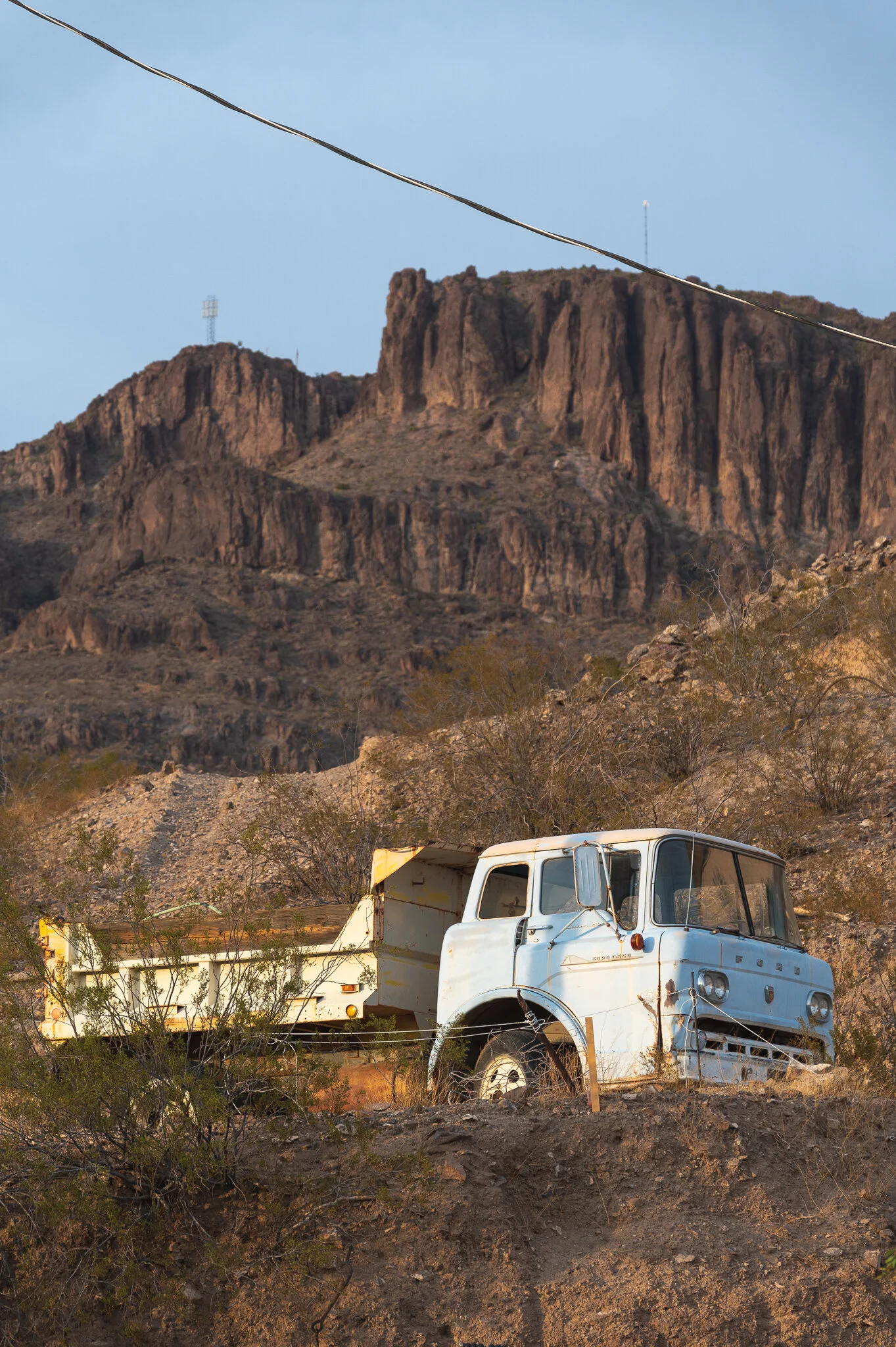
Route 66's closure further up the road impeded our plans to see more along its path, so we corrected course for northern Arizona. Our destination was Oatman.
Before entering Oatman, which sits up in the rocky hills, we were met by a burro (donkey) walking in the middle of the road. Our car rolled to a stop, and the burro came right up to Justin's window. I got out and took a few photos of the bizarre scene.


I love burros. They are adorable and beautiful.
The closer we got to Oatman, the more we encountered along the road. So thick were the burros at one point, cars going in either direction were forced to stop and wait for them to clop along out of the way.
“Hullo. We are burros.”


Once we'd made it to the summit, we found ourselves among the only people wandering around the former mining town. It didn't look to have aged a day past 1910.
Oatman Theatre with a burro munching on something out front.


Oatman was founded only a little over a hundred years ago. The town was a profitable destination during the Gold Rush for some, which attracted many more after their successes were made public. Once mining subsided and I-40 offered a bypass around it, Oatman's population dwindled. The burros used to haul rock from the mines were set free and became the ancestors of those that still hang around the mining town today.
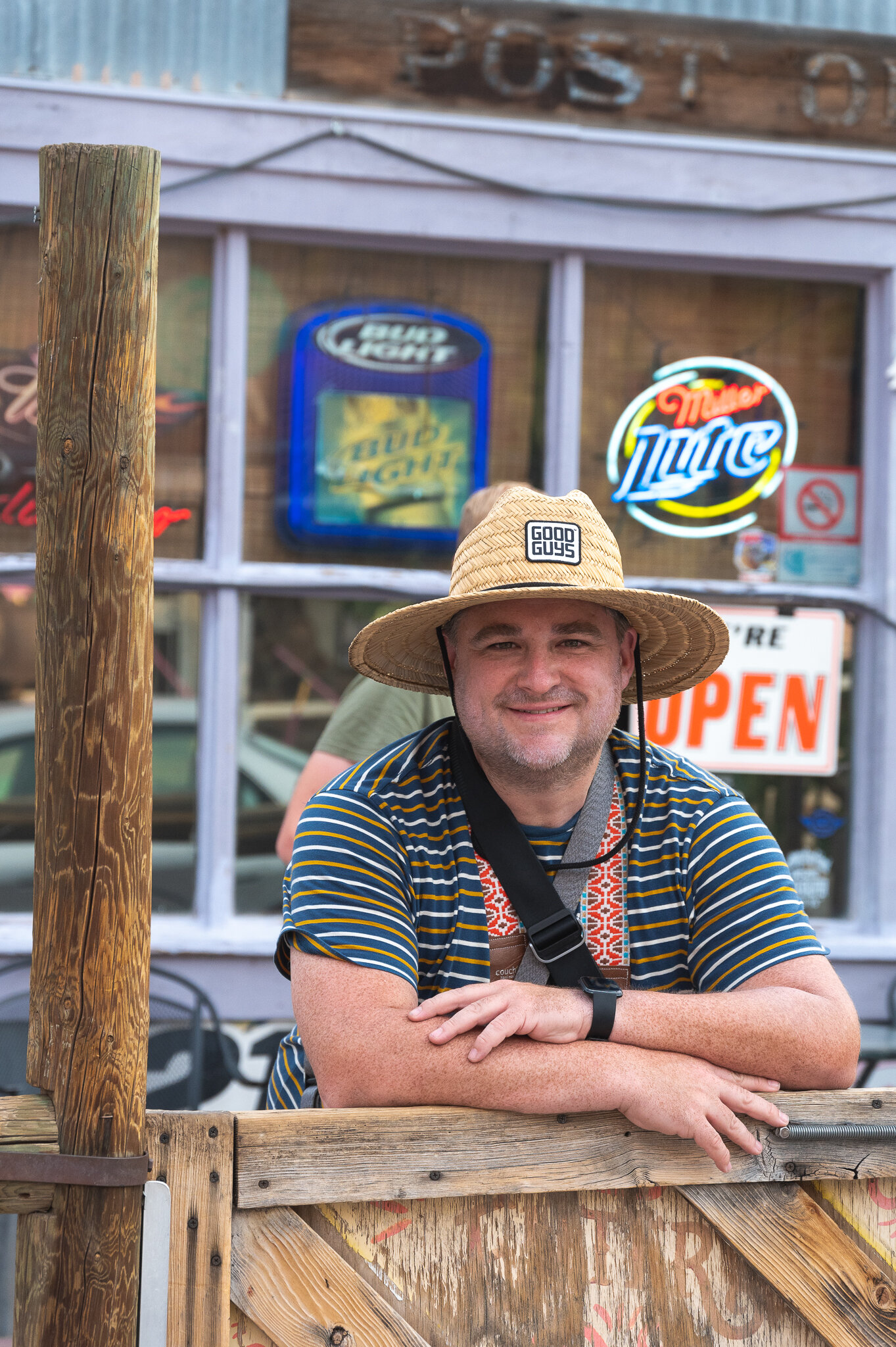
We took loads of photos of the main drag through Oatman and stopped for a quick beer at Judy's Saloon and Pool Hall.
The finest Dos Equis I’ve ever had in Oatman, AZ is served here.

The only rule at Judy’s. Kinda wanted to break it just for kicks.
The dishwasher at the Oatman Hotel was out front when I was walking by, and he told me about how Clark Gable and Carol Lombard honeymooned there in the late 1930s. He also said Gable would return to Oatman to hang out because the people in the town didn't treat him any differently than any other regular guy.
Established 1902.


The burros will come right up to you. I pet many of them on their head and they sniffed my hand for food. The dishwasher at the Oatman Hotel said not to pet them from behind. I would imagine because you’d run the risk of getting kicked that way.
Two people on a tandem bike randomly roll through Oatman while we were there.
Burros hang out in the street across from Judy’s.


Losing light and eager to get back to Las Vegas for dinner, we left Oatman and headed north. Hours later, we wound up at Bob Taylor's Ranch House—a western-themed steakhouse in a primarily residential area. I had an excellent ribeye.
Not ready to go back to the hotel, we hit up Downtown Las Vegas. As we walked, we took in all the neon lights and flashiness one would associate with the stereotypical idea of Vegas. Loads of people were walking the street, and all of them seem to be heading to one place…
You’ve seen this sign before. We all have.


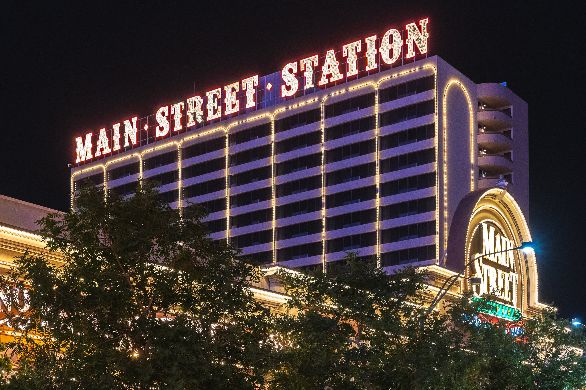


Plaza Hotel & Casino on Main Street


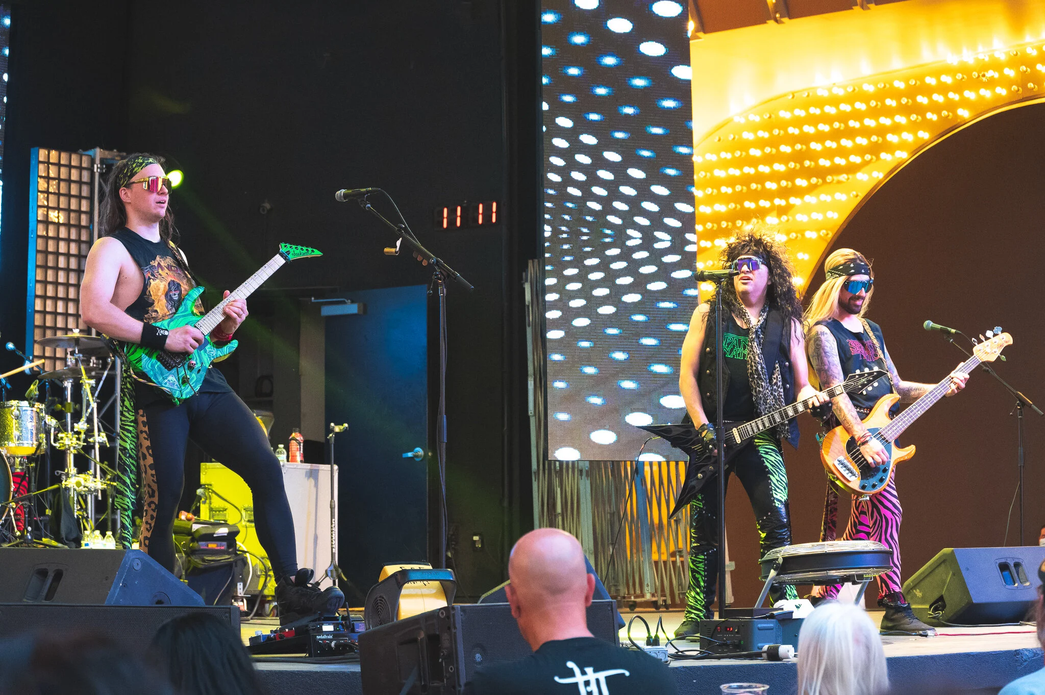
…the Fremont Street Experience.
Now, here's the thing: I was ill-prepared for what the Fremont Street Experience was. Having spent the majority of the last year staying in and limiting my exposure to crowds, I am still reacclimating to high-intensity situations. The Strip during midday was pretty intense to me the day prior, and I struggled a little to be comfortable in those crowded areas. It's not that I necessarily chose to feel that way. I just did. The Fremont Street Experience ratcheted the lights, sound, people, and energy exponentially.


Street performers recognize each other and fist bump immediately after.
Zipliners fly at fast speeds from one end of the Fremont Experience to the other. Everything is covered by a ceiling of LEDs. It honestly looked like loads of fun.

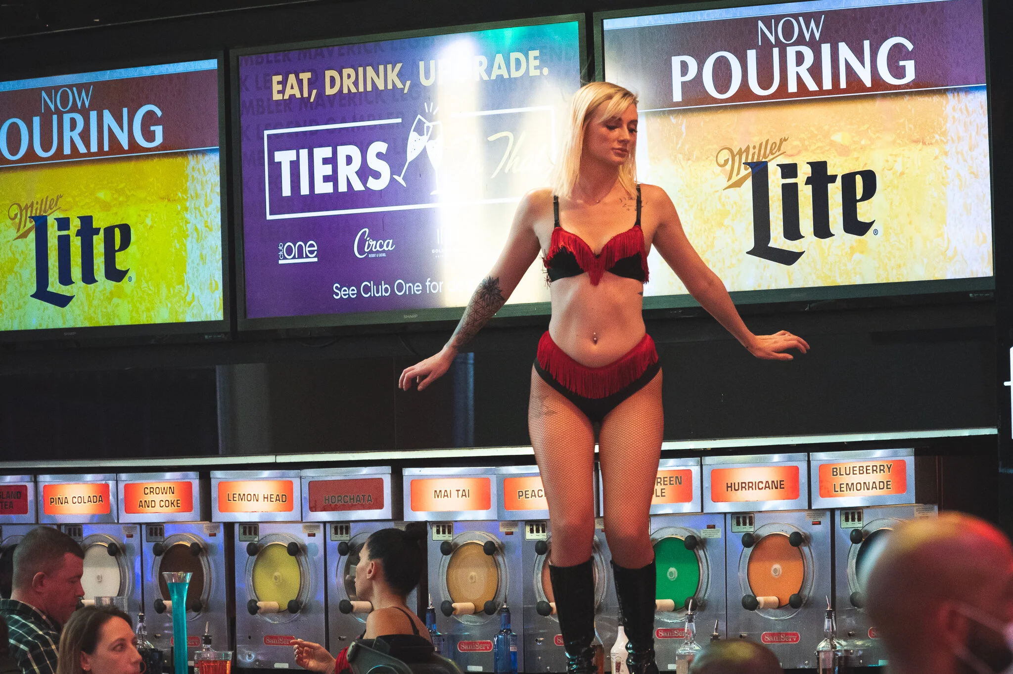


I wasn't uncomfortable so much as I was in disbelief at how crazy it was. From the multiple free concerts to the buskers and performers, the overhead zipliners to the unbelievable amount of signs and blinking lights, it was sensory overload like I hadn't felt in a while. Would I have been as dumbfounded had I not spent a year and a half dealing with a pandemic? I'm not sure.
Justin took many photos inside the Fremont Experience, as well.
$8.99 prime rib seems…suspicious…
I really cannot put this place into words or effectively capture it in photo. You just need to see it for yourself.
We slowly made our way through the manufactured chaos of the Fremont Street Experience before coming out on the other side, right in front of the Fremont East District.
The beginning of the Fremont East District.
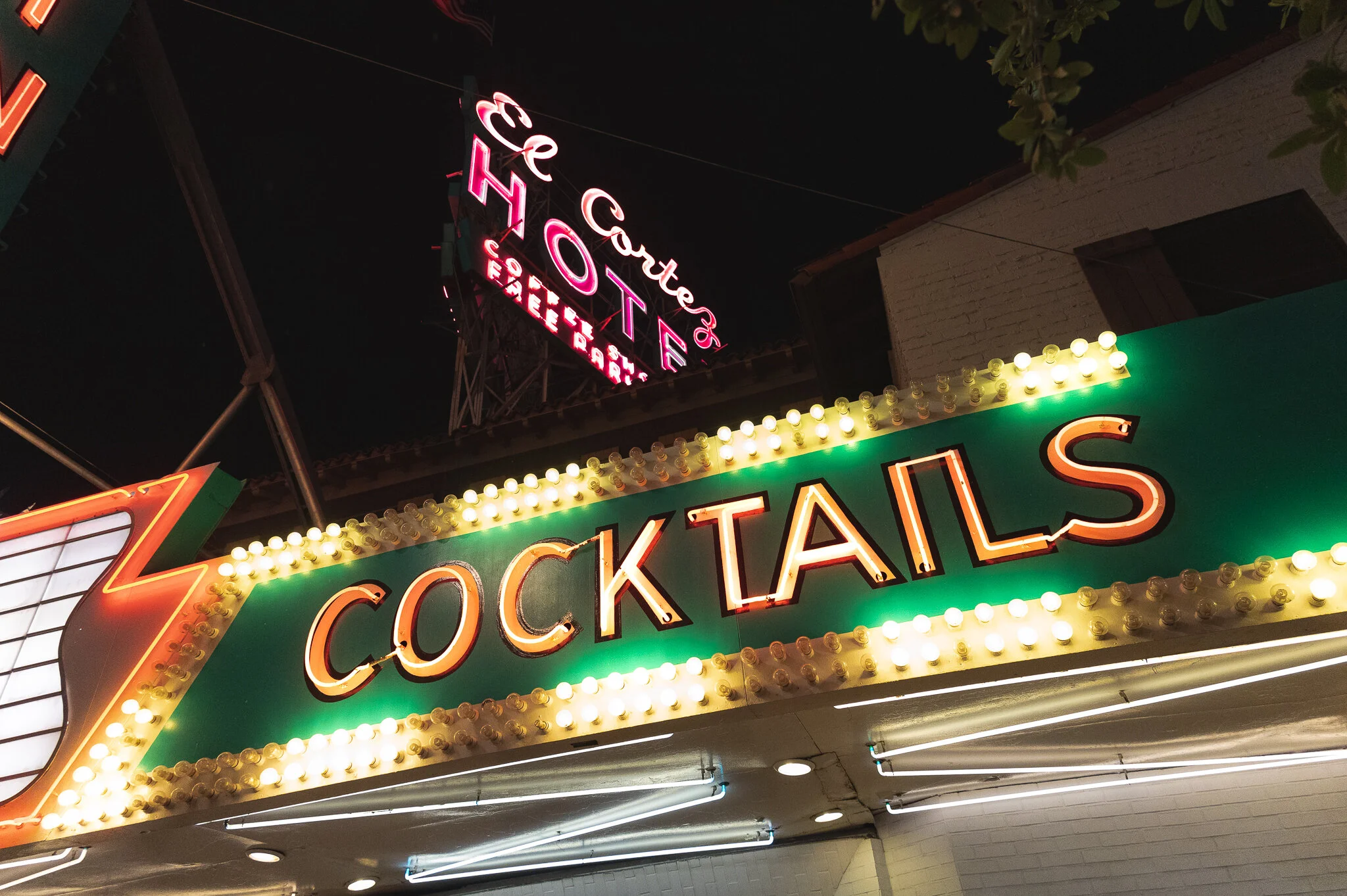
Fremont East had a noticeably quieter vibe to it, though I wouldn't call it quiet on its own. Comparatively, though, it was far more relaxed. I liked how Fremont East had loads of old signs we could easily photograph while walking on either side of the street.


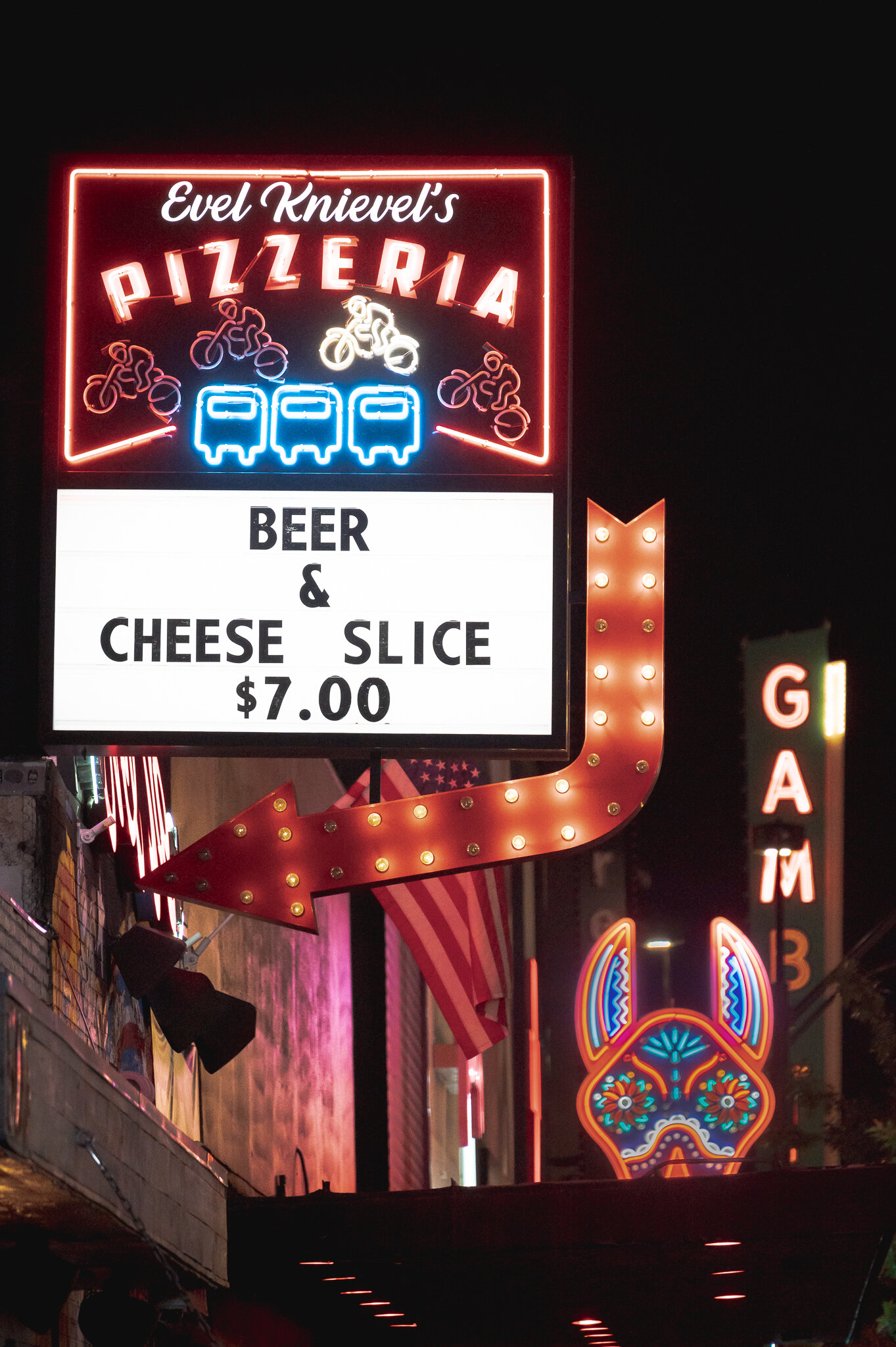
The further you go into Fremont East, the better the signs.
People dressed up for a night on the town, apparently.

After exploring Fremont for about an hour, we decided we'd had enough for one day and returned to the Rio to get some sleep. As tired as I was, it was remarkably satisfying to think about how much we saw over the last 15 hours; we'd traveled to three different states, experienced a considerable dose of Vegas night-life, and made hundreds of photos along the way.
Coming up on 'A Trip to Las Vegas: Day 3', the four of us seek out an incredible view of Hoover Dam, we brave the Valley of Fire, explore Las Vegas' Arts District, and have a drink on top of the world.